Santa Cruz Trek Itinerary: Day-by-Day Route, Camps & Map
Four days, one big pass, and a string of glacial camps. Here is the Santa Cruz Trek broken down day by day, with distances, camp altitudes, and how to read the route before you go.
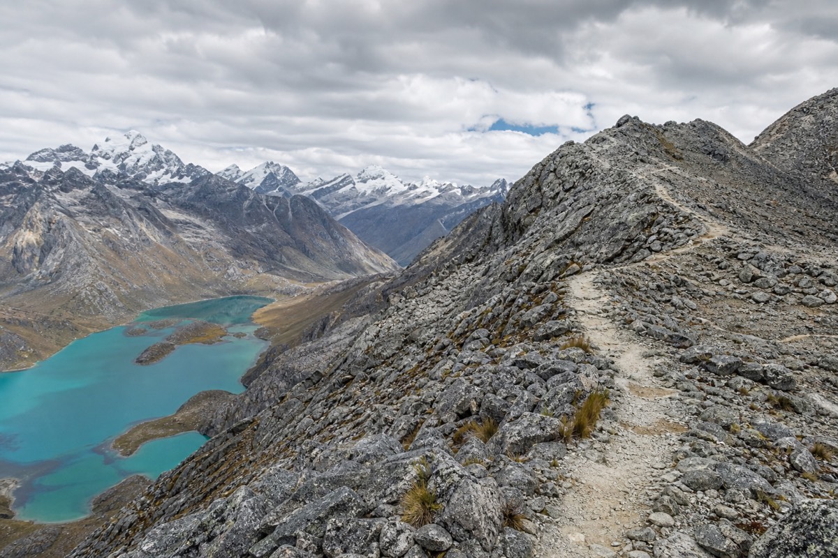
Most people remember the Santa Cruz Trek as a single morning: the climb to a narrow saddle at 4,750 metres where the whole Cordillera Blanca opens up at once. Getting there takes four days of steady walking through one of the finest valleys in the Andes. This is what each of those days actually looks like, camp by camp, with the numbers you need to plan.
Keep preparation days separate from the booked itinerary. A supported Santa Cruz crossing combines four days of camps and walking with transport from Huaraz.
Booking Choice: Choose the route, allow time to adjust to altitude, then compare the full quote including excluded fees and personal gear. View Four-Day Santa Cruz Trek
Santa Cruz Trek altitude profile, Cashapampa to Vaqueria
Waypoint altitudes from the operator itineraries and the Huascaran National Park route, 2026.
What Is The Santa Cruz Trek Route, And Which Direction Should You Walk It?
The Santa Cruz Trek is a 45 to 50 kilometre point-to-point route between the Cashapampa and Vaqueria trailheads in Huascaran National Park. Most itineraries walk south to north, from Cashapampa up the Santa Cruz valley, over the 4,750 metre Punta Union pass, and down to Vaqueria. Four days and three nights is the standard shape.
The trek is not a loop. You start at one trailhead and finish at another, which is why transport is planned at both ends. The classic direction climbs from Cashapampa at 2,970 metres, giving your body two easier days to gain height before the pass on the morning of Day 3. Walking it the other way, from Vaqueria, front-loads the altitude and is common on the guided 4-day Santa Cruz Trek whose current published itinerary starts at Cashapampa. Both cross the same pass and see the same peaks; the difference is where the hard climbing sits.
Here is the four-day, three-night itinerary at a glance, walked in the Cashapampa to Vaqueria direction. Distances and camp altitudes come from the operator itineraries and the park route.
| Day | From and to | Distance | Walking time | Camp / altitude |
|---|---|---|---|---|
| 1 | Cashapampa to Llamacorral | 8 to 10 km | 5 to 7 hrs | Llamacorral, 3,760 m |
| 2 | Llamacorral to Taullipampa | 9 to 12 km | 5 to 7 hrs | Taullipampa, 4,250 m |
| 3 | Taullipampa over Punta Union to Cachinapampa | 10 to 12 km | 6 to 9 hrs | Cachinapampa, around 3,700 m |
| 4 | Cachinapampa to Vaqueria, drive to Huaraz | 6 to 10 km | 4 to 6 hrs | Return to Huaraz |
Cumulative gain and loss over the four days runs to roughly 2,000 to 2,500 metres. It is a lot of up and down, but only one day, the pass, feels genuinely demanding.
How Do You Read The Santa Cruz Route On A Map?
Picture two valleys meeting at a high pass. The Santa Cruz valley climbs from Cashapampa in the southwest, and the Huaripampa valley drops to Vaqueria in the northeast. Punta Union at 4,750 metres is the hinge between them. The main waypoints, in order, are Cashapampa, Llamacorral, Taullipampa, the pass, Cachinapampa, and Vaqueria.
A paper or offline map makes the shape obvious once you know what you are looking at. The trail follows glacial rivers for most of its length, so the valleys guide you, and the junctions are few. Phone signal drops out for long stretches, which is one reason a downloaded map matters if you are considering the self-guided Santa Cruz route. The waypoint table below is the mental map to carry.
| Waypoint | Altitude | Valley / position | What happens here |
|---|---|---|---|
| Cashapampa | 2,970 m | Santa Cruz valley, south trailhead | Ranger station, park fee, trail start |
| Llamacorral | 3,760 m | Lower Santa Cruz valley | First camp after the canyon climb |
| Taullipampa | 4,250 m | Upper Santa Cruz valley | High camp below Taulliraju |
| Punta Union | 4,750 m | The pass, the high point | 360-degree summit panorama |
| Cachinapampa | Around 3,700 m | Huaripampa side | Descent camp on the far side |
| Vaqueria | Around 3,700 m | Huaripampa valley, north trailhead | Trail end, transport to Huaraz |
The Portachuelo de Llanganuco viewpoint at 4,767 metres sits on the road above Vaqueria, so on the drive out you get one last high pass and a look down at the turquoise Llanganuco lakes without lifting your pack.
Day 1: What Is The Walk From Cashapampa To Llamacorral Like?
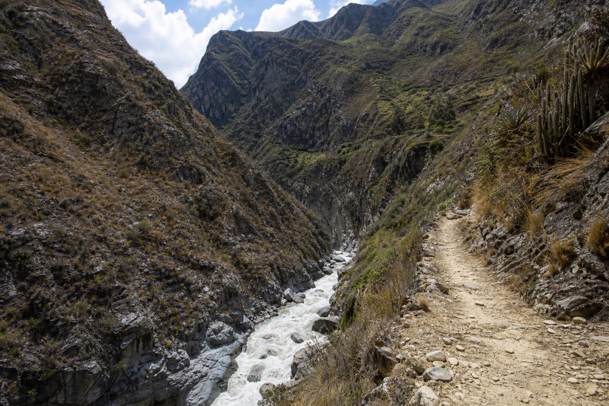
Day 1 is a warm-up with a sting in the middle. After the drive from Huaraz, you enter the park at Cashapampa and climb a steep canyon section beside the Santa Cruz river before the valley opens out. Expect 8 to 10 kilometres over 5 to 7 hours, gaining around 800 metres to the first camp at Llamacorral, 3,760 metres.
The morning starts early, often with a pickup around 5am so the group reaches the trailhead by mid-morning. The first hour out of Cashapampa is the least glamorous of the trek: a hot, switchbacking climb up a narrow gorge with the river below. It is the price of admission, and it ends when the gorge widens into the broad glacial floor of the Santa Cruz valley. From there the walking eases, the peaks appear, and the trail rolls gently up to Llamacorral, a grassy camp scattered with the boulders that give it a natural windbreak.
By afternoon most groups are in camp with time to rest, and the altitude is doing its quiet work. This is why the acclimatization days before the trek matter so much: arrive at Llamacorral already adapted to 3,000 metres and the night is comfortable, arrive straight from Lima and it can be a rough first sleep. If you have prepared by acclimatizing in Huaraz before the trek, Day 1 feels like a good long walk rather than a struggle.
Day 2: What Happens Between Llamacorral And Taullipampa?
Day 2 is the scenic middle day, gaining height gradually up the Santa Cruz valley past glacial lakes to the high camp at Taullipampa, 4,250 metres. It runs 9 to 12 kilometres over 5 to 7 hours with no single brutal climb, but you sleep higher than the night before, which sets you up for the pass.
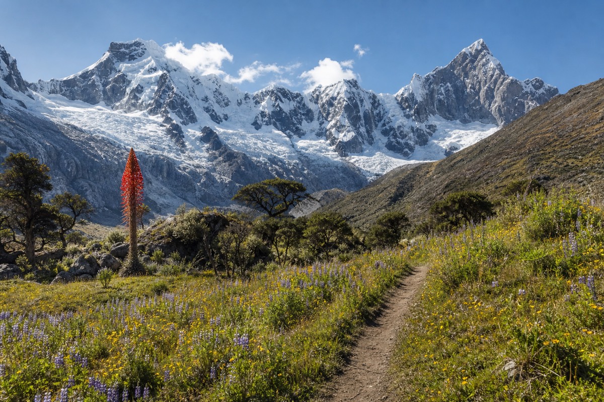
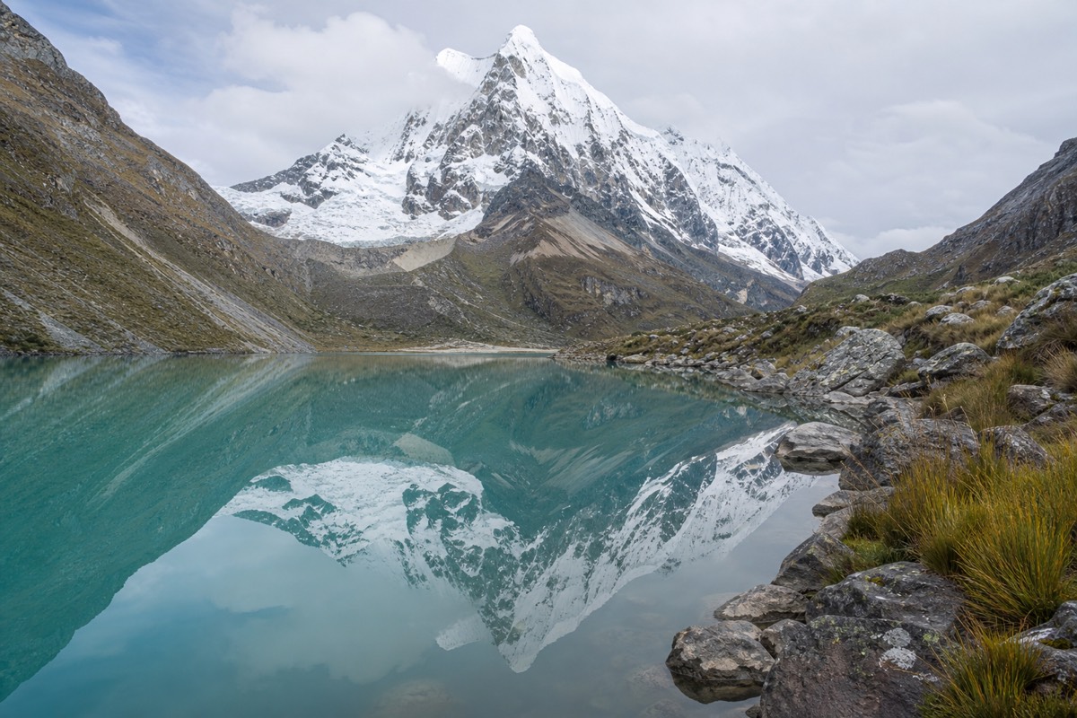
This is the day the trek earns its reputation. The trail traces the valley floor with the flanks of the range rising on both sides, passing the milky glacial lakes of Ichicocha and Jatuncocha where the water throws back the peaks on a still morning. Taulliraju, a fin of rock and ice near 5,800 metres, dominates the head of the valley and grows larger as you approach camp. The walking is honest but not cruel: a long, steady gain rather than a wall.
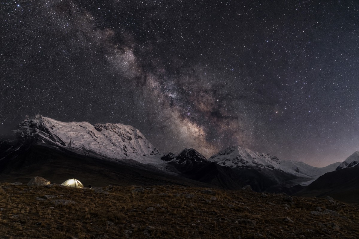
Taullipampa is the classic high camp, a wide meadow with Alpamayo and Santa Cruz visible above the moraines. It is cold once the sun drops behind the ridge, and the guides usually have coca tea ready. Sleeping at 4,250 metres is part of the plan, the last acclimatization step before you tackle the highest ground of the trek at dawn.
Day 3: How Do You Cross The Punta Union Pass?
Day 3 is the reason people come. From Taullipampa you climb roughly 500 metres over about three and a half hours to Punta Union at 4,750 metres, the highest point of the trek, then make a long descent to camp near 3,700 metres. It runs 10 to 12 kilometres over 6 to 9 hours and demands an early, steady start.
The ascent begins gently through alpine meadow, then steepens through boulder field and scree toward the final zig-zag to the saddle. Guides set a pace that matches the slowest walker, because altitude, not fitness, decides the day. The rule on the climb is simple: walk slowly, breathe deliberately, and say something the moment a symptom appears rather than pushing on silently. The pass itself is a narrow gap in the rock, and stepping through it delivers the panorama the whole trek builds toward, Taulliraju, Quitaraju, and the Santa Cruz massif in a single sweep of ice and stone.
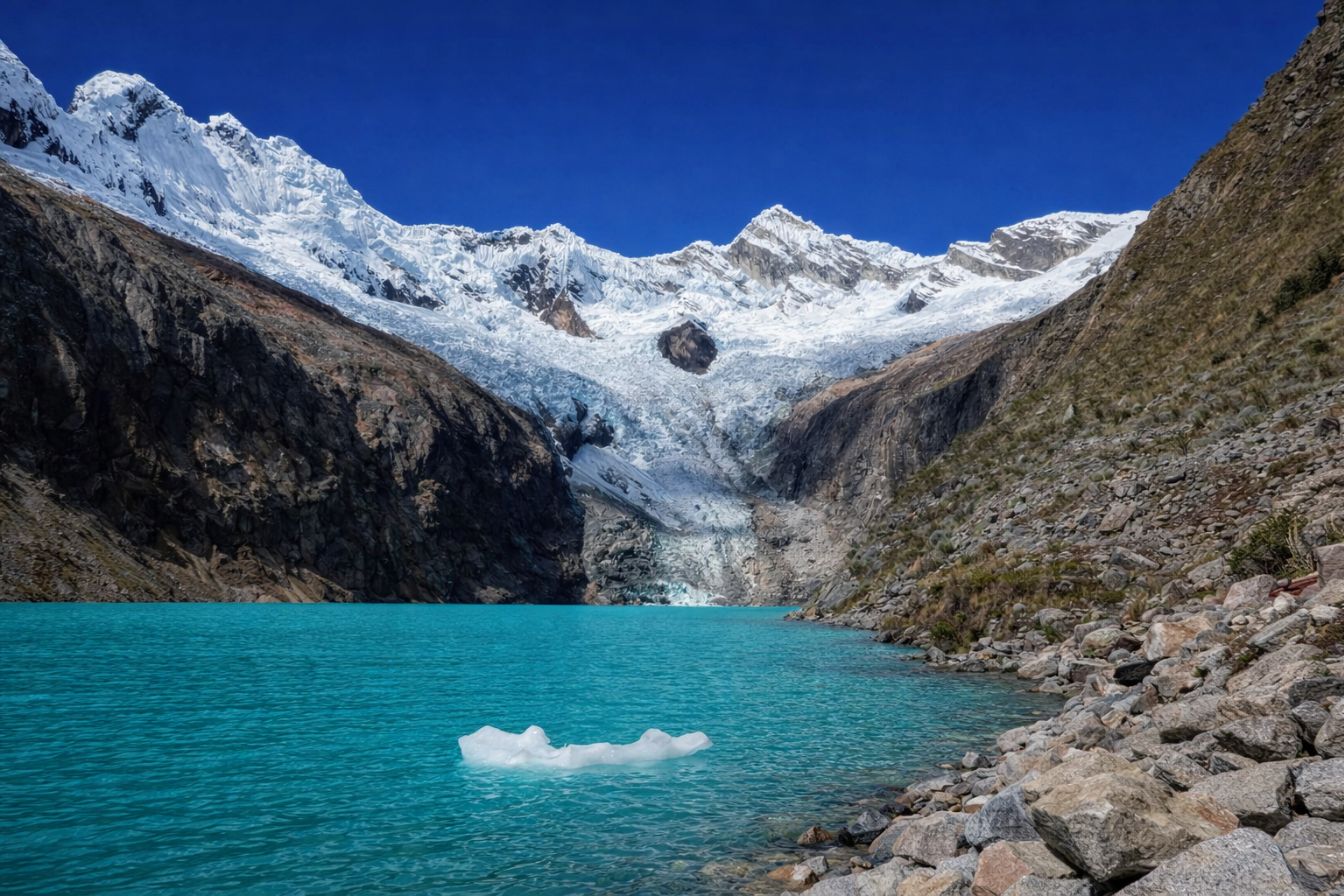
Most groups spend twenty to forty minutes at the top before the cold and thin air make staying counterproductive, then start the steep descent into the Huaripampa side. The typical rhythm of the day looks like this.
| Time | Stage |
|---|---|
| 5:30 am | Wake at Taullipampa, coca tea |
| 6:30 am | Breakfast, pack down, mules loaded |
| 7:15 am | Start climbing toward the pass |
| 8:30 am | Glacial lake below the switchbacks |
| 10:45 am | Punta Union pass, 4,750 m |
| 11:30 am | Begin the descent into the valley |
| 1:00 pm | Lunch at the Cachinapampa meadow |
| 4:00 pm | Arrive at camp, tents already set |
The descent is long and steep on loose ground at first, so trekking poles and good boots pay off here more than anywhere else on the route.
Day 4: What Is The Exit To Vaqueria, And Getting Back To Huaraz?
Day 4 is the gentle close: a downhill walk of 6 to 10 kilometres over 4 to 6 hours through the Huaripampa valley to the Vaqueria trailhead, then a three to four hour drive back to Huaraz over the Portachuelo de Llanganuco with a final view of the Llanganuco lakes. Most trekkers reach town by evening.
After the pass, the last day feels like a reward. The trail drops through green valley terrain where local farms appear and the air thickens noticeably with every hundred metres lost. Vaqueria is a small roadhead rather than a village of any size, and from there the vehicle climbs back over the Portachuelo before the long descent to Huaraz. The road itself is scenic, tracing the Llanganuco valley past the twin lakes that many visitors would drive out to see on their own.
If you booked the private Santa Cruz Llanganuco trek, this final stretch is unhurried and hotel-to-hotel, which is a real difference after four days on the trail. Either way, the trek ends where it began, in Huaraz, usually in time for the first proper meal and hot shower most people have thought about since the pass.
Where Do You Camp On The Santa Cruz Trek?
Camps are designated grassy sites beside the river or in valley meadows, used freely with no booking or quota. The main ones on the classic route are Llamacorral at 3,760 metres, Taullipampa at 4,250 metres, and a descent camp near Cachinapampa around 3,700 metres. Guided tours pitch tents, cook, and set up a dining and toilet tent at each.
None of the camps have lodges or fixed facilities beyond flat ground and water nearby, which is part of the appeal. On a guided trip the support crew reaches camp ahead of you, so tents, a mess tent, and a basic toilet tent are standing by the time you arrive. Independent walkers carry and pitch their own. The sites fill on a first-come basis in peak season, which is why early departures grab the better spots below the best peaks. Camping itself is free; the national park authority charges only the park entrance fee, paid in cash at the ranger station.
| Camp | Altitude | Night | Character |
|---|---|---|---|
| Llamacorral | 3,760 m | 1 | Boulder-sheltered meadow, first night |
| Taullipampa | 4,250 m | 2 | High camp under Taulliraju, cold |
| Cachinapampa | Around 3,700 m | 3 | Descent-side meadow after the pass |
Some operators shift the exact camps by a valley depending on group pace and season, so treat the sequence as the template rather than a rule carved in stone.
What Gear Makes The Biggest Difference On This Itinerary?
Four items earn their place on the Santa Cruz specifically: trekking poles for the long, loose descent off Punta Union, an insulated jacket for the wind at 4,750 metres, broken-in waterproof boots for the scree, and a bag warm enough for the 4,250 metre night at Taullipampa. Guided trips supply the sleep gear, and independent walkers carry it.
The Santa Cruz asks for mountain kit rather than technical equipment, but a few things matter more here than on a lower trek. The descent from the pass is where poles pay for themselves, saving your knees over an hour of steep, loose ground. The wind on the saddle can be brutal even on a clear day, so an insulated layer that lives at the top of your pack beats one buried at the bottom. Because the coldest night is the high camp before the pass, a bag rated to around minus 10 is the difference between sleeping and shivering.
On a guided departure the tent, mat and sleeping bag are provided and carried, so your own list shrinks to layers, boots, poles, and small personal items. Independent trekkers add all the sleep and cooking gear to that load. Either way, the short list below is what changes the day-to-day feel of this particular route.
| Item | Where it matters | Why it counts here |
|---|---|---|
| Trekking poles | Descent off the pass | Loose scree and a long downhill, saves the knees |
| Insulated jacket | Punta Union, 4,750 m | Wind and cold at the high point |
| Waterproof boots | Scree and stream crossings | Grip and dry feet on rough ground |
| Warm sleeping bag | Taullipampa, 4,250 m | Coldest night, below freezing |
None of it is exotic, and most of it rents cheaply in Huaraz. What matters is having the right four things reachable on the right day, rather than the perfect kit list buried in a duffel on a mule.
How Hard Is Each Day, And How Should You Pace The Trek?
Days 1, 2 and 4 are moderate, with steady gains and one steep canyon section on the first morning. Day 3, the pass, is the hard day: a 500 metre climb to 4,750 metres and a long steep descent. Pace the whole trek to the pass, acclimatize first, and let the mules carry the weight so you walk with a light daypack.
The Santa Cruz is rated moderate to moderately hard, and the difficulty is almost entirely about altitude rather than terrain or technique. There is no scrambling and no exposure that requires a head for heights, just thin air and long days. The single best thing you can do for the pass is arrive already adapted, and the second is to keep your carried weight low. With porters or mules handling the tents, food and camp gear, your pack holds water, layers, snacks and a camera, which changes the whole feel of the high day.
| Day | Effort | Net altitude change | The crux |
|---|---|---|---|
| 1 | Moderate | Up about 800 m | Steep canyon out of Cashapampa |
| 2 | Moderate | Up about 500 m | Sleeping at 4,250 m |
| 3 | Hard | Up 500 m, then down 1,000 m | The pass and the long descent |
| 4 | Easy to moderate | Mostly downhill | Tired legs on the exit |
Choosing between the value group departure and a private trip mostly comes down to pace and company. The comparison is straightforward.
| Format | Pace and group | From price |
|---|---|---|
| Classic 4-day group | Fixed group pace, sociable | Around $390 / person |
| Private Llanganuco | Your own pace, hotel-to-hotel | Check the quote for your party |
Whichever you pick, the itinerary above is the backbone. If you are still comparing routes, weigh the other Cordillera Blanca treks from Huaraz against this one. Line up your acclimatization, book the crew ahead for your dates, and read what the Santa Cruz Trek costs so there are no surprises at the ranger station or the trailhead. The route rewards preparation more than raw strength, and four days later the pass photo is the one you keep.